
108 Years Ago
In the summer of 1917, the United States had just entered World War I. The July 26, 1917 Colorado Transcript reported that soldiers were encamped in City Park:
The City park has now assumed all the appearance of a military camp. Companies A and B are now stationed there. Company streets have been surveyed, and electric lights placed at convenient places. All of the officers’ tents have been provided with electric lights. Sanitary toilets have been connected with the city sewer. A large cook shack has been completed and all officers and men of the battalion are now taking their meals in the park.
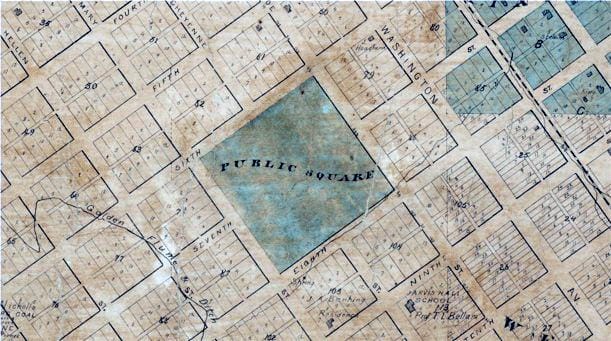
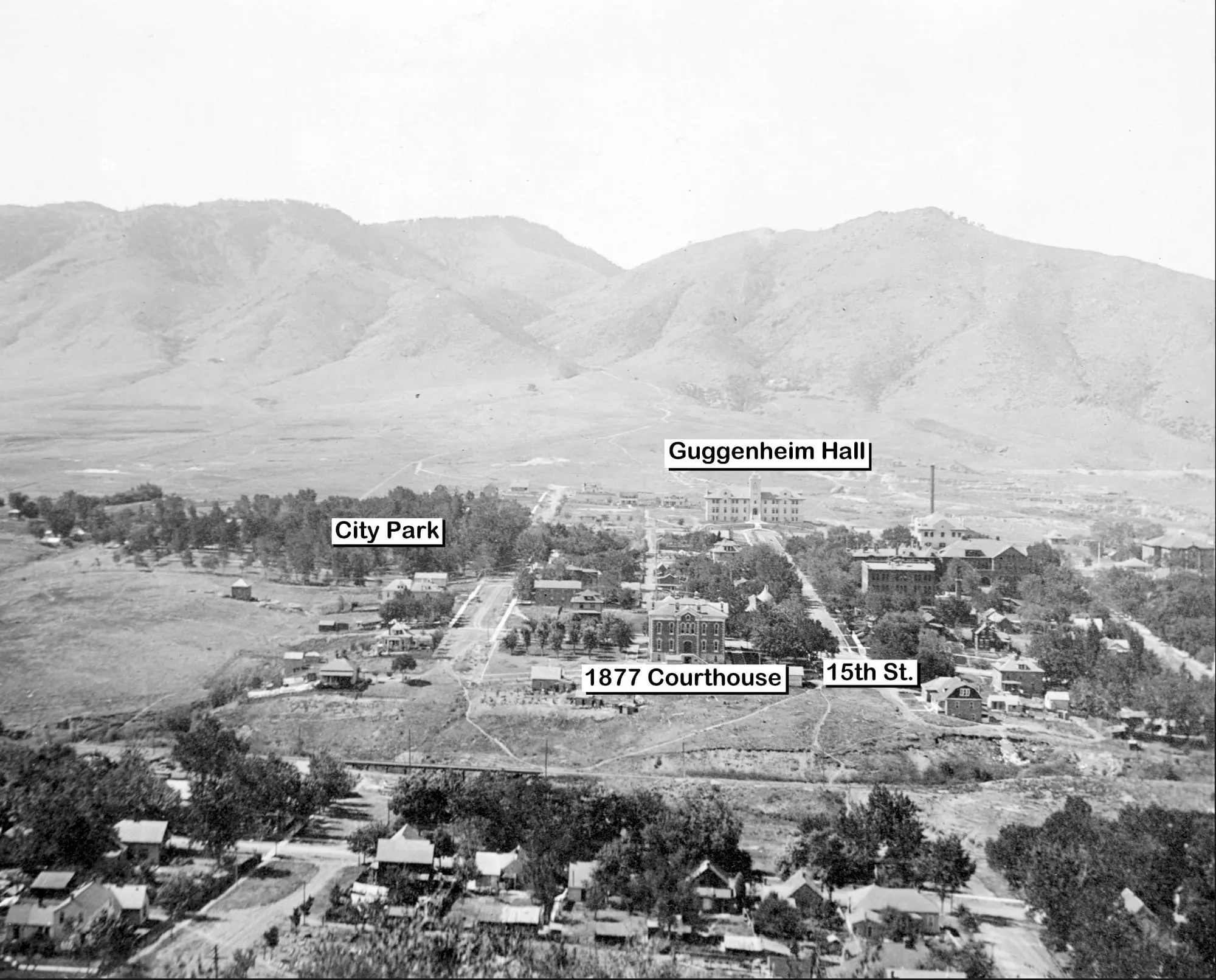
Early maps of Golden show a four square block area between 16th and 18th Streets, from Arapahoe to Illinois, marked “Public Square.” According to the Colorado Transcript, town founder William Loveland donated it to the City with the stipulation that it always be used as a park.
After World War II, the county needed a bigger courthouse, and–rather than losing them to some other municipality–the citizens of Golden voted to give the park to the County, so they could build a new courthouse there. Soon after, the School of Mines received the rest of the property so they could expand the campus.
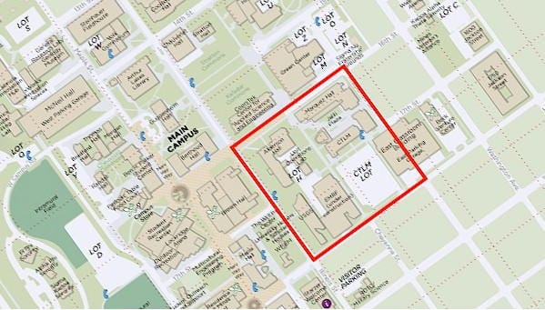
When the County built the current courthouse, the School of Mines acquired the rest of the former City park.