
This year the Colorado Geological Survey (CGS) launched a study using scientific tools and practices to capture and measure erosion on the west side of the Ridge. Early results displayed in a color-coded story map help show the effects of weathering. This data will help our Preservation Committee better advocate for investments aimed at minimizing erosion.
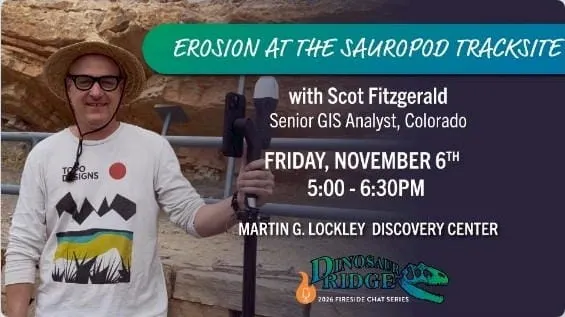
CGS Senior GIS Analyst Scot Fitzgerald presented findings at the Geological Society of America conference this month and will share details and images in the first of a series of Fireside Chats in November. Tickets
Location:
Martin G. Lockley Discovery Center
17681 W. Alameda Parkway (Map)